Specimen Aug 24, 2011
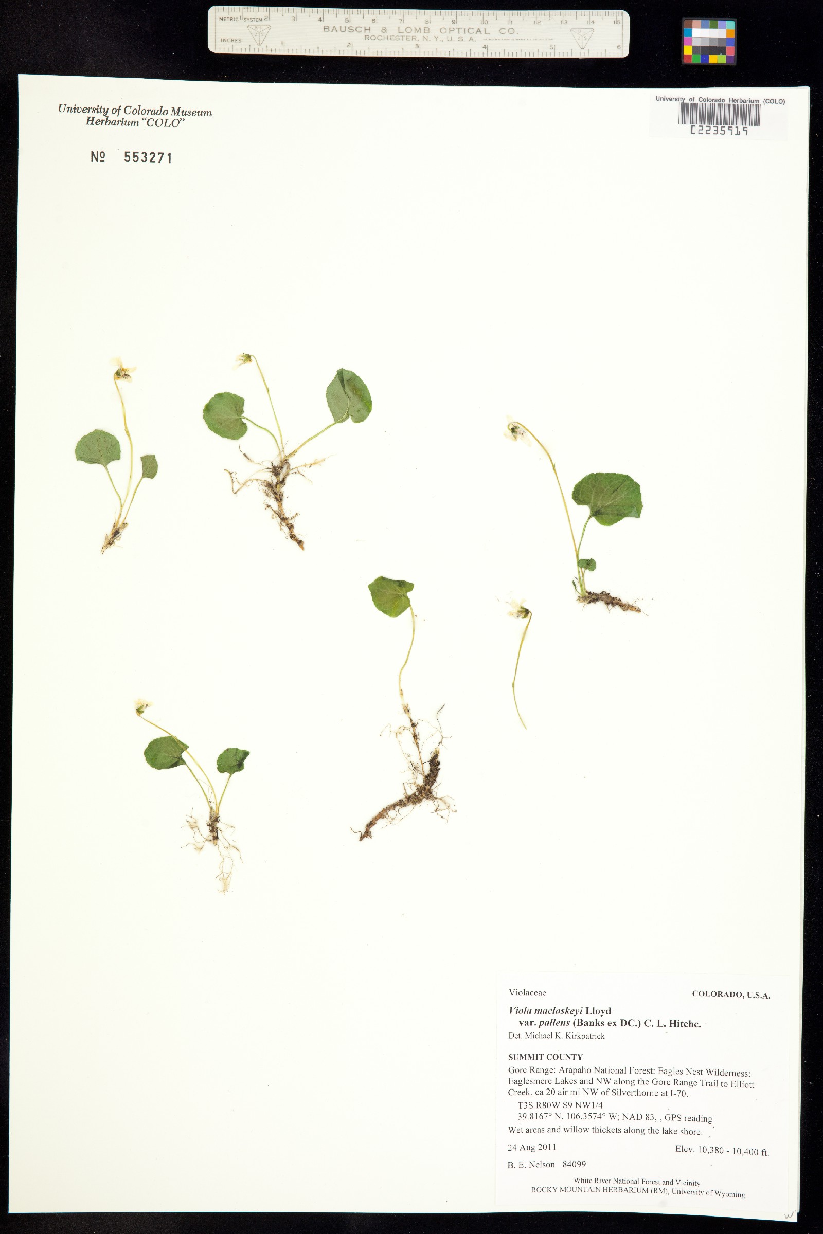
Viola macloskeyi var. pallens
United StatesColoradoSummit
Gore Range: Arapaho National Forest: Eagles Nest Wilderness: Eaglesmere Lakes and NW along the Gore Range Trail to Elliott Creek, ca 20 air mi NW of Silverthorne at I-70.

Record
- Dataset
- University of Colorado Museum of Natural History Herbarium Vascular Plant Collection
- Basis of record
- Preserved specimen
Taxon
- Scientific name
- Viola macloskeyi var. pallens
- Taxon ID
- 11657
- Higher classification
- Plantae|Magnoliophyta|Eudicots|Core Eudicots|Fabids|Rosids|Malpighiales|Violaceae|Viola|Viola macloskeyi
- Kingdom
- Plantae
- Phylum
- Magnoliophyta
- Order
- Malpighiales
- Family
- Violaceae
- Genus
- Viola
- Specific epithet
- macloskeyi
- Infraspecific epithet
- pallens
- Rank
- Variety
- Verbatim rank
- var.
- Scientific name authorship
- (Banks ex DC.) C.L. Hitchc.
Viola macloskeyi var. pallens (Banks ex Ging.) C.L.Hitchc.
KingdomPlantaePhylumTracheophytaClassMagnoliopsidaOrderMalpighialesFamilyViolaceaeGenusViolaSpeciesViola palustrisenums.taxonRank.null
- Taxon ID not found
Synonymaccepted name: Viola palustris L.
Viola macloskeyi var. pallens (Banks ex Ging.) C. L. Hitchc.
DomainEukaryotaKingdomPlantaeSubkingdomPteridobiotinaPhylumTracheophytaClassMagnoliopsidaOrderMalpighialesFamilyViolaceaeSubfamilyVioloideaeGenusViolaSpeciesViola palustrisSubspeciesViola palustris palustrisenums.taxonRank.null
- Taxon ID not found
Synonymaccepted name: Viola palustris subsp. palustris
Location
- Continent
- North AmericaInferred
- Country or area
- United States of AmericaInferred
- State province
- Colorado
- County
- Summit
- Locality
- Gore Range: Arapaho National Forest: Eagles Nest Wilderness: Eaglesmere Lakes and NW along the Gore Range Trail to Elliott Creek, ca 20 air mi NW of Silverthorne at I-70.
- Decimal latitude
- 39.817
- Decimal longitude
- -106.357
- Georeference sources
- GPS reading
- Elevation
- 3,168Inferred
- Elevation accuracy
- 3Inferred
- Verbatim elevation
- 10380-10400 ft.
- Geodetic datum
- NAD 83
- Verbatim coordinates
- 39.8167° N, 106.3574° W; NAD 83, , GPS reading; T3S R80W S9 NW1/4
- Location according to GADM
- United StatesColoradoSummit
Loading map...
Occurrence
- Occurrence ID
- f41fc7e2-4f69-4f3d-95d3-e4cd92cd97aa
- Catalogue number
- 02235919
- Record number
- 84099
- Recorded by
- B. E. Nelson
- Sex
- Reproductive condition
- flowering
- Occurrence status
- PresentInferred
- Other catalogue numbers
- 553271
Other
- Record licence
- CC BY 4.0Inferred
- Institution code
- COLOAmbiguous institution
- Collection code
- V
- Collection ID
- f5da8b4f-e389-4436-b71d-1c3e0a4baacc
- Identifier
- 415441
- Language
- English
- Modified
- 2025-02-05T16:02:05Altered2025-02-05 16:02:05original
- References
- GBIF ID
- 2573501884
Multimedia
- Format
- image/jpeg
- Identifier
- https://botanydb....2235/02235919.jpg
- Rights holder
- University of Colorado Museum of Natural History Herbarium Vascular Plant Collection (COLO-V)
- Record licence
- http://creativecommons.org/licenses/by-nc-sa/3.0/

Identification history
- Identified by
- unknown
- modified
- 2023-08-23 10:07:00
- recordID
- urn:uuid:d51eef1f-99b9-4fa2-8bbf-725647e94b4c
- Date identified
- s.d.
- Scientific name
- Viola macloskeyi subsp. pallens
Citation
- Please use this citation in publications
- University of Colorado Museum of Natural History (2025). University of Colorado Museum of Natural History Herbarium Vascular Plant Collection. Occurrence dataset https://doi.org/10.15468/wyofjv accessed via GBIF.org on 2025-08-07. https://gbif.org/occurrence/2573501884
- API access
- Dataset
- University of Colorado Museum of Natural History Herbarium Vascular Plant Collection
- Publisher
- University of Colorado Museum of Natural History
- Last crawled
- 2025-07-19T15:00:31.699